Geological Mapping Review: Unconformities, Folds, and Faults
Earth Science Extras
by Russ Colson

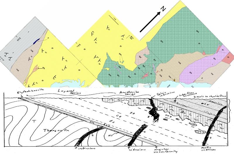
Simplified map and stylized geological cross-section of the Duluth Igneous Complex, Duluth MN showing underlying folded and metamorphosed older rocks to the left (Thomson Fm), the layered series of the intrusive complex, the anorthosite series of the intrusive complex, and the overlying volcanic layers (mostly basalt) on the right. Intrusive dikes are shown conceptually.
This lesson is intended as a follow-up of the precursor lesson on Geological Mapping with Planar Layers. It continues the review of mapping concepts and techniques. Some significant experience with geological mapping is assumed.
Analytical mapping skills include the following (with those explored in the current lesson underlined).
Some analytical mapping practices include the following (again, those practices in the current lesson are underlined):
Consider the map below. The topography is not shown and is presumed to be nearly flat (otherwise, the contact lines between rock layers would not be so straight). Identify the location of the angular unconformity. How do you know there is an unconformity at this location and how do you know it is angular? What does an unconformity represent? What is the angle and direction of dip of the rock layers? Are they the same everywhere?

The unconformity on this map is marked by a double line. More typically, an unconformity is marked by a bold, non-straight line at the contacts between different rock layers. The presence of rock 'triple junctioins" where 1) three rock types come together at a single point, and 2) the map pattern where rock layers encounter a contact surface at an angle, and 3) the distinctly different dip directions of the rock layers in different parts of the map all indicate the presence of an angular unconformity. An unconformity is a place in the rock where we have a gap in the record of past events. That gap can be due to a period of non-deposition, a period of erosion, or both. For angular unconformities, there had to be an episode of tilting or folding that occured during this 'gap in time.'
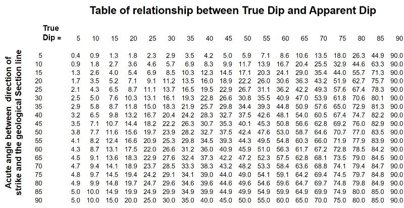
Consider the line from A to A' in the map above. A cross-sectional view along this line would show the dip of layers--and the change in dip as we crossed the unconformity line--but would not necessarily illustrate the actual dip of 30 degrees or 10 degrees measured in the field and recorded on the map. This is because the cross-section may not go in the direction of steepest dip, which is always perpendicular to the direction of strike. This 'steepest dip' is called the "true" dip. If the cross section is not perpendular to the strike, then the dip seen in the cross section is called the "apparent" dip. The apparent dip will equal the dip angle if the cross-section line is parallel to the dip direction (perpendicular to strike), it will equal 0 (seemingly horizontal) when the cross section line is perpendicular to the direction of dip (parallel to strike), and will otherwise be in between, as shown by the table below.
Constructing a geological cross section is an important part of inferring what exists at depth based on what is observed at the surface. The geological cross section can be based on structure contours, but for the Map 4 (reproduced below for convenience) a good geological cross section can be inferred from the positions of the rock contacts seen at the surface and the dip angles (and apparent dip angles). Take a few minutes to sketch out a geological cross section, being sure to think about what is happening underground, and remembering that the surface of the unconformity will be roughly parallel to the contacts between the rock layers above it. Once you have completed your cross-section, check yourself with the multiple choice question below.

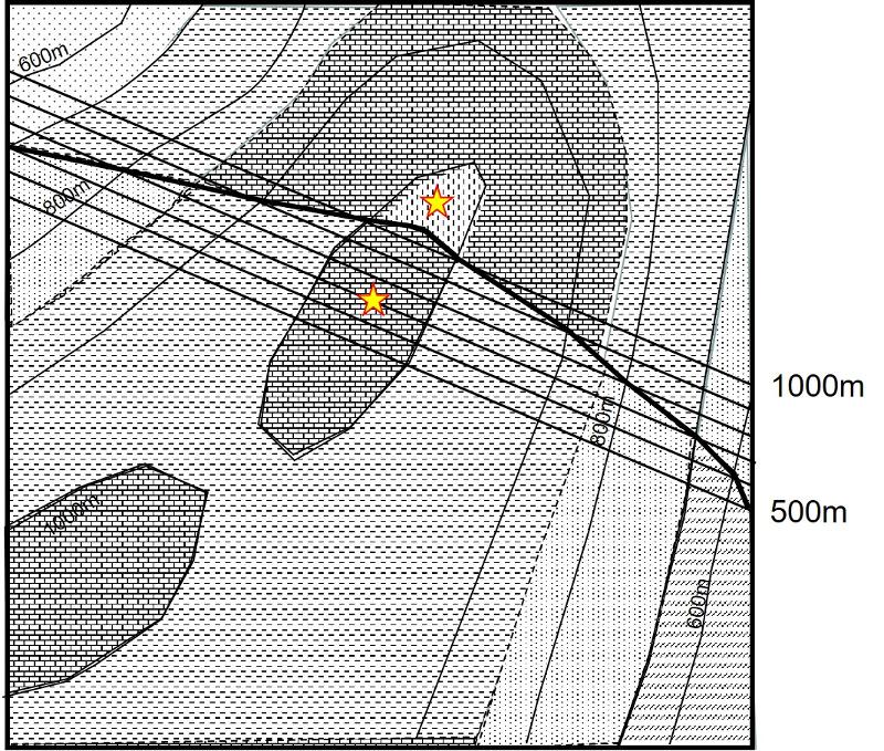
Study the map below for a few minutes. The colored layers are above the unconformity and are dipping to the southeast as indicated by the strike and dip symbol. The layers below the unconformity are dipping to the southwest, as shown by the strike and dip symbol. For simplicity, only a single layer of the underlying southwest-tilted rocks is shown on the map (the stippled layer). Structure contours have been constructed for you. The structure contours for the stippled rock layer (dipping toward the southwest) are shown in yellow. The structure contours for the unconformity (presuming it is planar) are shown in red.

Where the stippled layer appears at the surface is easily observed in the field and is shown on the map. But where does this layer appear in the subsurface? It might have been eroded way by the modern erosional surface. Or it might have been eroded away by the ancient erosion surface now marked by the unconformity. Or it might be hidden underground by overlying rock layers. Based on the topography of the modern surface, the structure contour lines for the stippled layer, and the structure contours for the unconformity, you can figure out where
1) The full thickness of the stippled layer exists underground
2) Where a partial thickness of the stippled layer exists underground (that is, it was partially eroded away by the ancient erosion marked by the unconformity)
3) Where the stippled layer has been eroded away by the modern erosional surface
4) Where the stippled layer was entirely eroded away in the ancient past by the erosional surface now marked by the unconformity.
The following problems lead you through these different possibilities. Try to figure them out based on the elevations of the modern surface, the structure contour elevations for the stippled layer (considering both its top and bottom surfaces), and the structure contour elevations for the unconformity. Take your timein addressing the exercises below--they are not intended to be quick "know the answer or not" questions, but rather lab problems to be figured out and if you don't try to figure them out, you won't be getting much from the exercise. Also, carefully read the feedback to the questions to compare your reasoning process to mine.
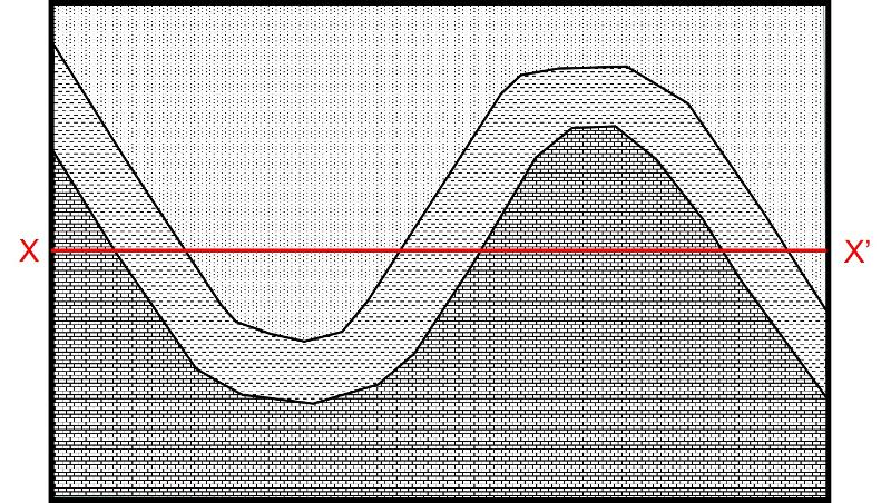
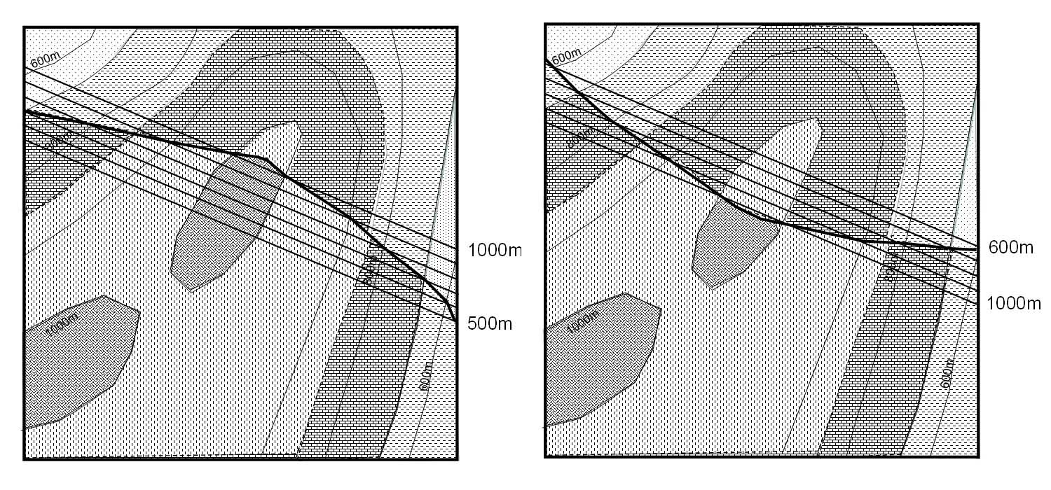
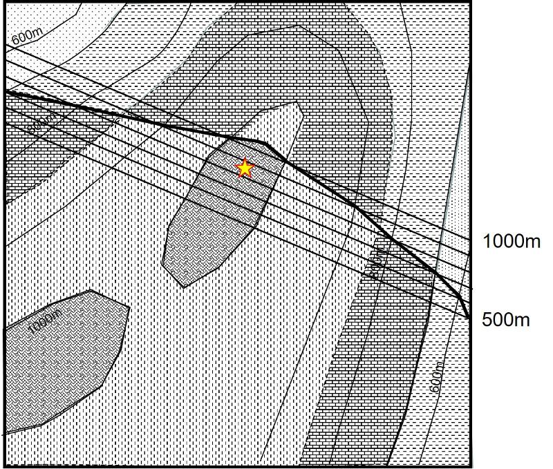
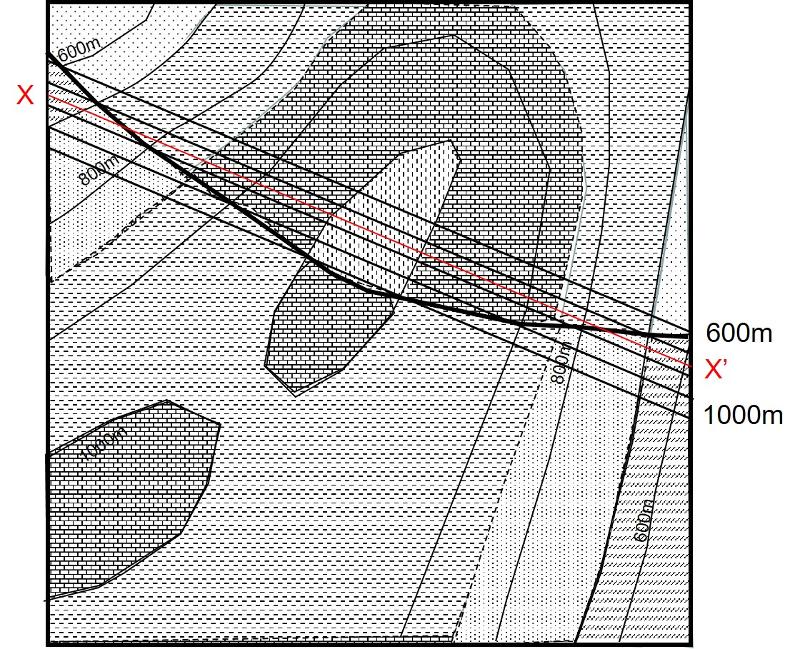
Consider the map below. Assume that the topography, which is not shown, is flat. What kind of features are you looking at? What can you say about those features? What additional information do you need to fully identify the features?


last updated 2/15/2022. Text and pictures are the property of Russ Colson.